
blah blah blah
Mt. Eisenhower
Length: 6.6 miles out-and-backDifficulty (click for info): Very Hard
Elevation Gain: 2750 feet
Rating (click for info): 10/10
Elevation: 4760'
Prominence: 335'
Driving Directions:
Trailhead and parking area are on Mt. Clinton Road in Bretton Woods, NH. Mt. Clinton Road leaves Rt. 302 8.2 miles east of Rt. 3. The parking area is 2.3 miles down the road, on the right.
About the Hike:
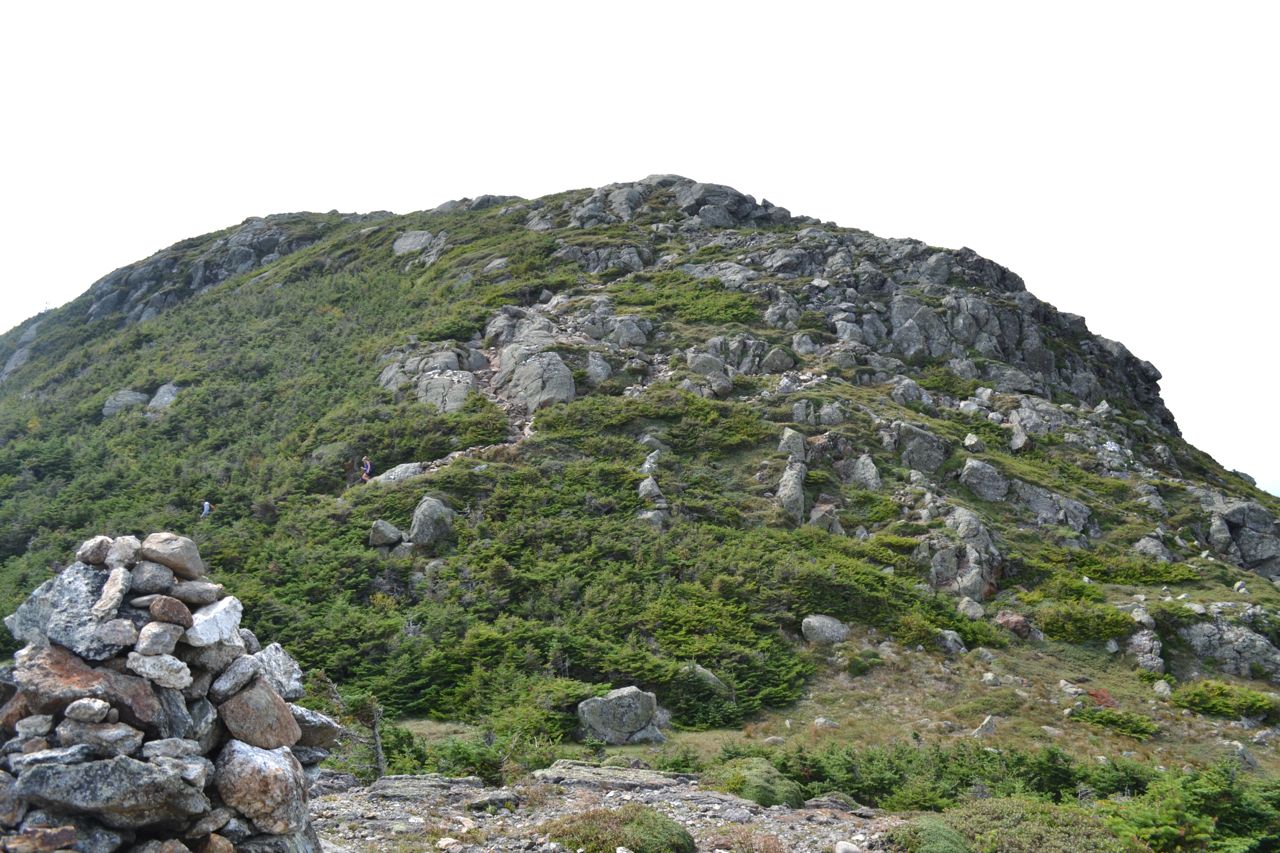
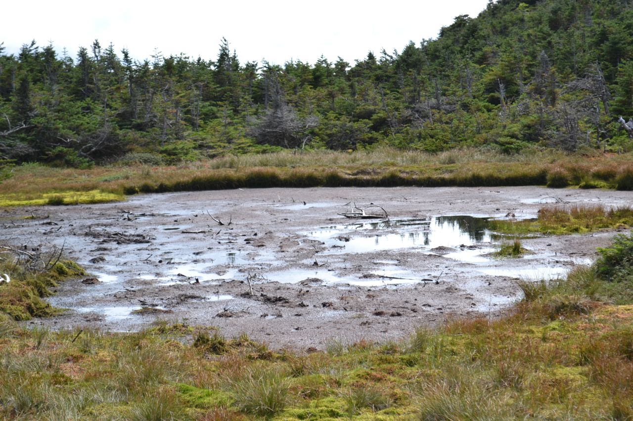
Mt. Eisenhower's massive, bare dome is the most distinct feature of the southern Presidentials. Although, it is considered one of the easiest 4000-footers to hike, reaching the summit requires a challenging and rocky 3.3-mile climb. With an alpine zone of over four acres, Eisenhower's summit provides a spectacular view in all directions. The Edmands Path begins on Mt. Clinton Road. It heads out into the flat forest, soon crossing two brooks. After running level for a while, the trail begins its ascent, gradually becoming steeper as it goes. Grades are moderate, but constant. After a two-mile climb, the trail becomes rockier and more open as it angles across the mountainside. It crosses several ledges with runoff or small brooks flowing down them (extremely dangerous when icy), then becomes flat, leading around to the north side of the summit dome. The trail soon reaches the alpine zone, where it winds around to a trail junction at 2.9 total miles. Turn right onto Mt. Eisenhower Loop, then turn left onto a short spur to see Red Pond, a tiny alpine marsh nestled in the fir trees. From here, the trail makes a very steep 0.4-mile ascent to the summit.
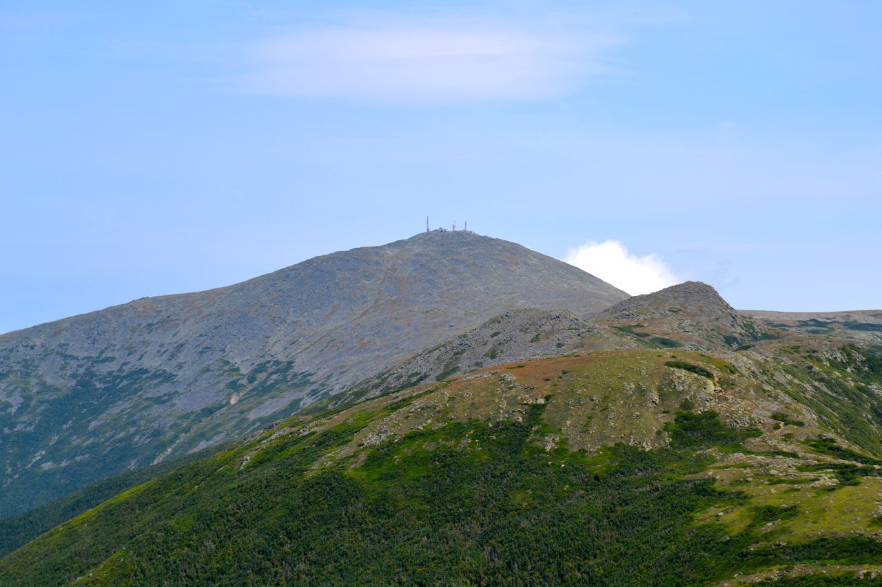
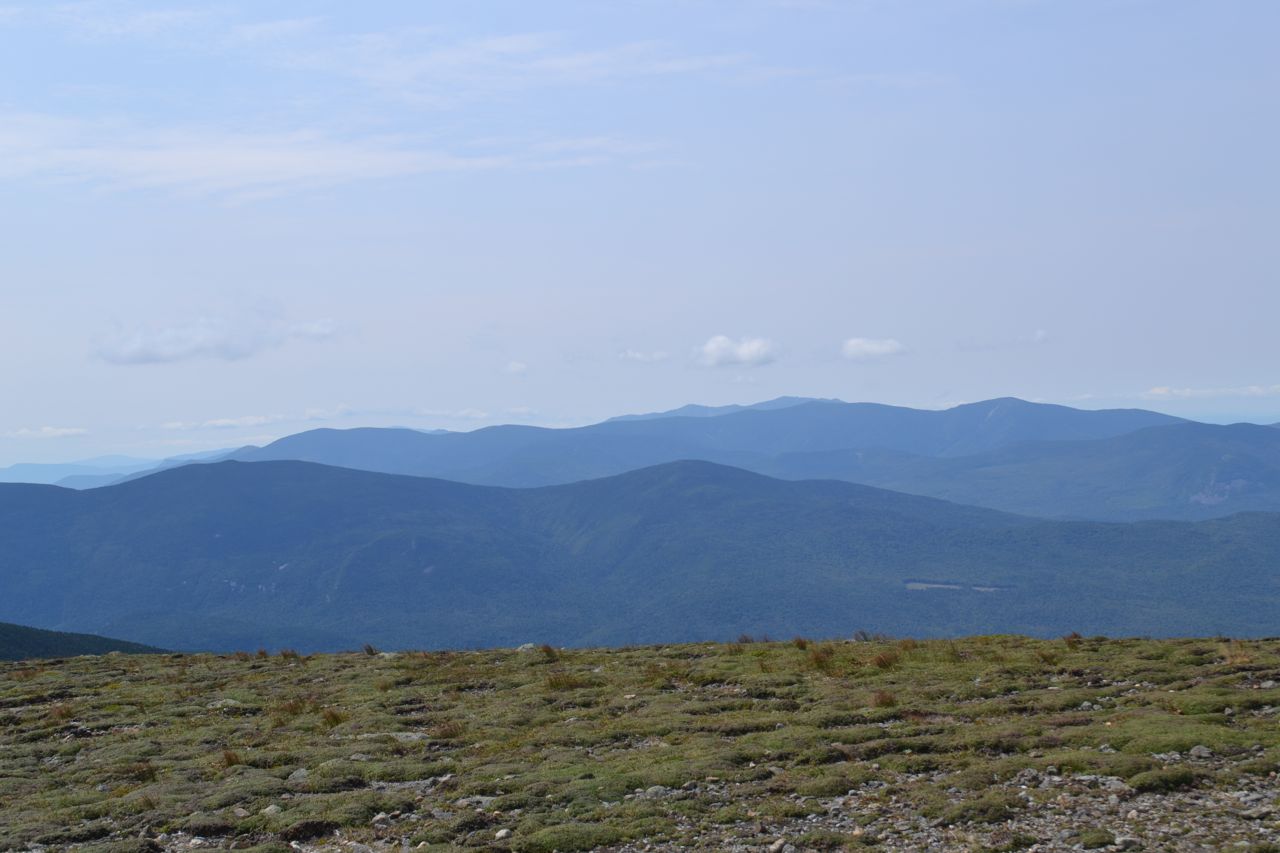
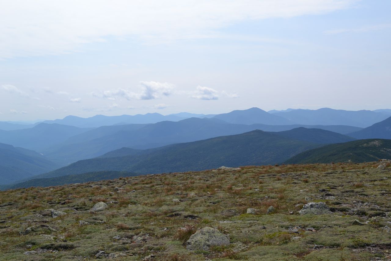
The summit provides a wonderful view from the center of the southern Presidentials. To the north, the ridgecrest leads up past minor Mt. Franklin and Little Monroe to the triangular peak of Mt. Monroe, and then up to mighty Mt. Washington. To the left of Washington are Mts. Jefferson and Clay and to the right, the Montalban Ridge descends to Boott Spur. To the southeast, the view looks out over the Presidential Range-Dry River Wilderness. To the south are the central White Mountains. To the west is the Willey Range, on the other side of the notch, with the Twin Range behind it and the Franconia Ridge behind that. To the northwest is the Dartmouth Range, with the Pliny and Pilot Ranges in behind.
Printable directions page